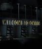
Well, thanks for keeping this thread separate, now the other thread can continue with the relevant topic at hand.
Microsoft Flight Simulator 40th Edition or the current latest version. Simulates the current weather, time, as well as actual live traffic data
It even has several Omaha packs, including Eppley Airport and other attractions in Omaha.
The data is from I believe Bing maps, and the Omaha map data appears to be that of 2016. So everything depicted but you are going back in time before all of our current developments took place. Its mind blowing how things have changed.
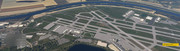
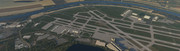
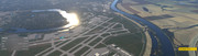
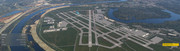
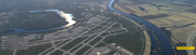
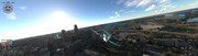
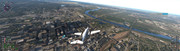
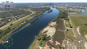
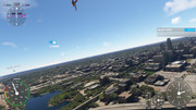
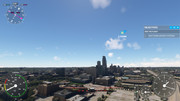
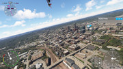
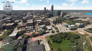
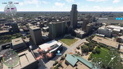
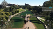
In Omaha while flying my Ornithopter, some people may know where that comes from

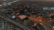
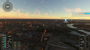
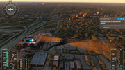
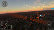
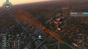
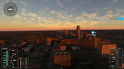
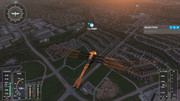
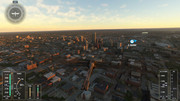
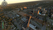
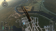
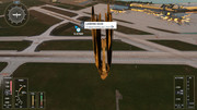
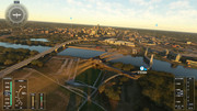
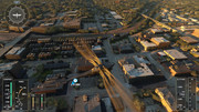
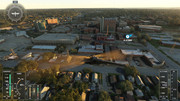
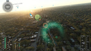
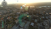
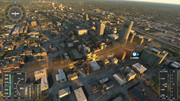
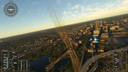
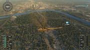
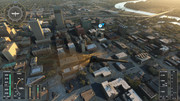
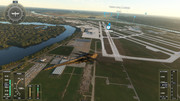
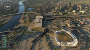
A good aerial from Midtown Crossing
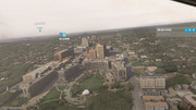
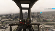
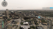
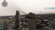
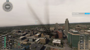
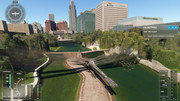
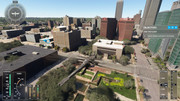
Some good fly-bys of the old Heartland of America Park; Lewis and Clark Landing.
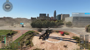
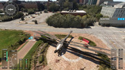
I even landed the Thopter in the Conagra entrance, some of the shrubs may look strange but that is the photogrammetry data from bing and most if not all trees look realistic, in certain areas.
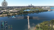
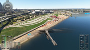
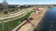
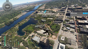
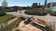
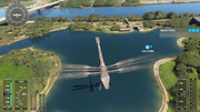
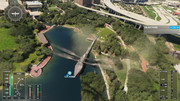
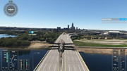
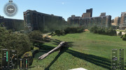
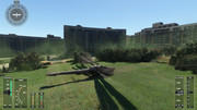
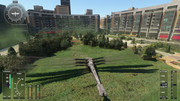
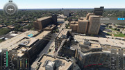
Aksarben looks like it was under construction, and the HDR HQ is not there.
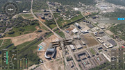
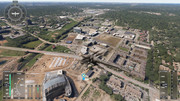
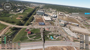
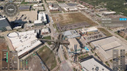
I must have caused panic in 2016 downtown Omaha, since I got too close with my Concorde

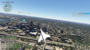
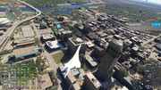
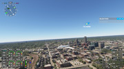
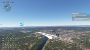
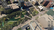
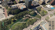
I can't believe there was an ugly parking lot by Gene Leahy Mall and the Conagra campus
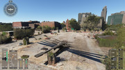
Some Old Market Fly-bys
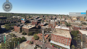
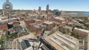
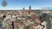
Gene Leahy Mall 2.0 Closeups
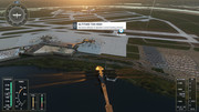
Here are a few screencaps of the Eppley Airfield terminal